































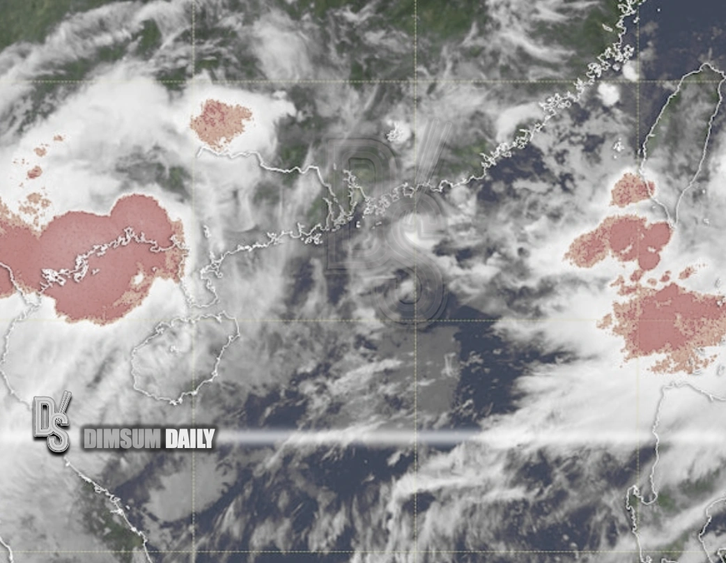
22nd August 2026 – (Hong Kong) The Hong Kong Observatory said on 22nd August that a tropical cyclone situated over Beibu Wan is expected to linger over the area today before having a higher chance of turning gradually east to northeast early next week, edging closer to the vicinity of the Leizhou Peninsula and the coast of western Guangdong. Forecasters will keep close watch on its movement and local wind changes to assess whether tropical cyclone warning signals are needed early next week. The agency also noted that a broad trough of low pressure will keep conditions unsettled across the northern South China Sea and along the Guangdong coast in the coming days.
Forecast guidance indicated the system would draw to within roughly 600 kilometres southwest of Hong Kong in the small hours of Tuesday, 25th August, then make landfall over the Leizhou Peninsula and weaken to a tropical depression before its remnant circulation approaches Zhanjiang at about 400 kilometres west-southwest of Hong Kong around dawn on Thursday, 27th August. The Observatory expects winds over high ground to reach force 6 at times from late Monday, 24th August through early Wednesday, 26th August, with occasional heavy showers and squally thunderstorms along the coast.
The Observatory upgraded the circulation to tropical storm strength on Friday, 21st August, estimating maximum sustained winds near the centre at about 65 kilometres per hour, while the Regional Specialized Meteorological Centre in Tokyo continued to analyse the system as a tropical depression under its criteria. RSMC Tokyo assigns international names once 10‑minute sustained winds reach at least 18 metres per second (35 knots). When the threshold is met, the next name on the West Pacific list contributed by the Philippines is Narra.
At 8.00am, the centre of the tropical storm over Beibu Wan was estimated to be about 270 kilometres northwest of Haikou and was expected to be slow‑moving while lingering over the gulf. Locally, today’s forecast called for mainly cloudy skies with a few showers, heavier bursts and isolated squally thunderstorms in the morning, sunny intervals in the afternoon and moderate south to southwesterly winds, occasionally fresh offshore. Looking ahead, more showers are likely in some areas tomorrow, followed by periods of showers and squally thunderstorms over the next couple of days with breezier conditions in places.
The broader outlook from mid‑week suggests the unsettled pattern will ease, with the Observatory indicating a gradual improvement from Friday into the weekend, when sunny periods return and daytime heat intensifies in the urban areas.